Improving traffic signal timing with a handful of connected vehicles

ANN ARBOR—With GPS data from as little as 6% of vehicles on the road, University of Michigan researchers can recalibrate traffic signals to significantly reduce congestion and delays at intersections.
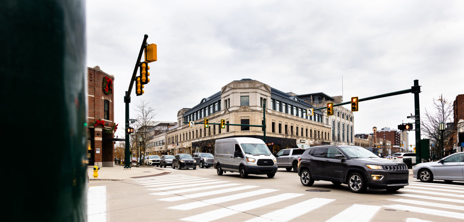
In an 18-month pilot study conducted in Birmingham, MI, the team used connected vehicle data insights provided by General Motors to test its system, resulting in a 20% to 30% decrease in the number of stops at signalized intersections. GM vehicles makeup six to ten percent of cars currently on the road in the U.S.
Officially, it’s the world’s first large-scale cloud-based traffic signal re-timing system, and it represents a major opportunity for communities to recalibrate their signal patterns at a reduced cost. U-M’s research appears this week in Nature Communications.
The U-M system takes GPS data from a percentage of vehicles on the road and extrapolate traffic patterns. For example, a connected vehicle that comes to a stop roughly 100 feet from an intersection strongly indicates that it is behind at least three or four other vehicles.
While detectors at intersections can provide traffic count and estimated speed, access to vehicle trajectory information, even at low penetration rates, provides more valuable data including vehicle delay, number of stops, and route selection
Dr. Henry Liu, Mcity Director, Center for Connected and Automated Transportation (CCAT) Director; Bruce D. Greenshields, Collegiate Professor of Engineering, University of Michigan
There are roughly 320,000 traffic signals in the U.S. and the annual congestion costs—direct and indirect—associated with those intersections comes out to $22.9 billion. Those costs include time spent waiting at lights, as well as unnecessary energy consumption caused by signal times that can be improved.
Most traffic signals operate on a time-of-day signal timing plan, where preset patterns are in place for morning, afternoon, evening and overnight. Traffic planners attempt to coordinate those cycles with surrounding intersections to allow cars to flow between intersections with as little stop-and-go travel as possible.
“The reason these signals should be changed more often is that traffic is always changing,” Liu said. “A good example is the traffic patterns we saw in the year before COVID’s arrival and the two years afterward. Your morning peak hour changed drastically with so many people working from home. When you see that kind of change you need to retime these signals.”
Optimizing signals to keep up with changes in traffic flows isn’t a simple task. The costs and time involved in doing traffic counts and recalculation mean most municipalities won’t reassess for two to five years, or sometimes decades.
While adaptive signals have been around since the 1970s, detecting vehicles at intersections to reprogram signals almost in real time, cost has kept them from widespread use. Installation of an adaptive system at a single intersection can cost as much as $50,000, with regular maintenance required—a price tag not all communities can afford. The U-M system for optimization would cost a fraction of that for an adaptive system.
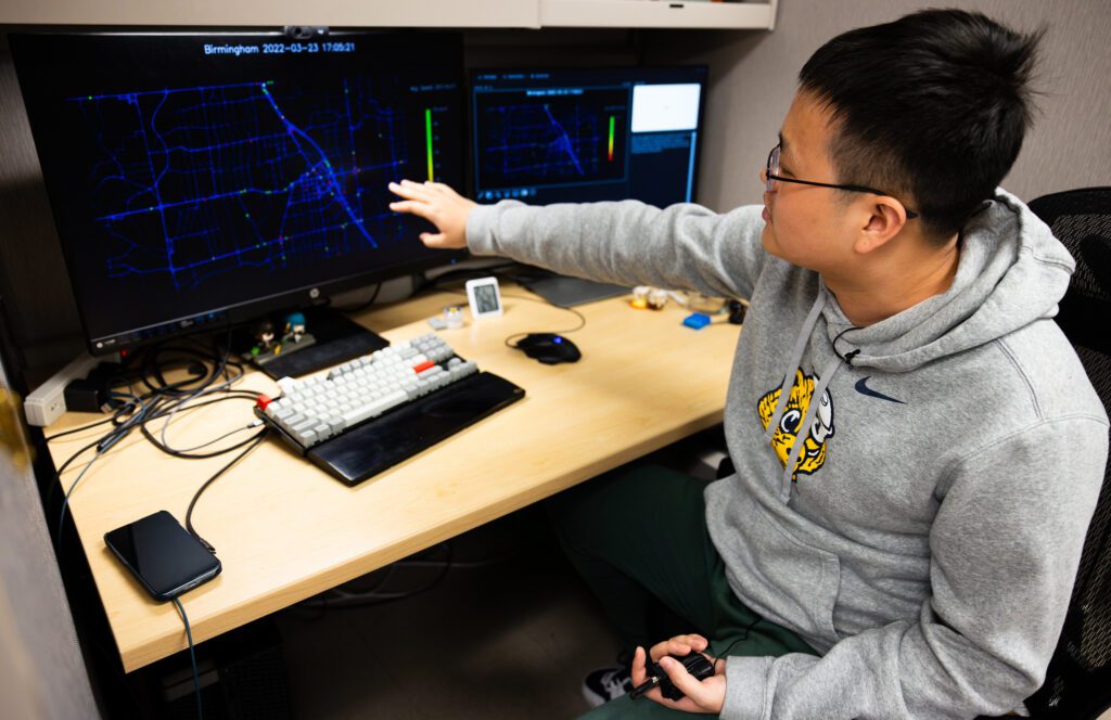
The U-M system, called a probabilistic time-space diagram, allows for a smaller percentage of connected vehicle data to do the same workload as sensors at an adaptive traffic signal. To test its effectiveness, researchers collected data over the course of three weeks in March 2022 from each of Birmingham’s 34 signalized intersections—most of which are fixed time systems.

“What this has done is really solve our data collection issue,” said Gary Piotrowicz, deputy managing director of the Road Commission for Oakland County (RCOC). “And I could argue that this is going to be the way everybody in the country does it. Once they’ve solidified the system, there’s no reason to do it any other way.”
Liu’s team features several graduate students including Zachary Jerome, a graduate research assistant and member of the Michigan Traffic Lab who helped develop U-M’s algorithm. Jerome worked directly with RCOC and hopes to collaborate with industry partners to help other municipalities deploy this cost-saving technology.
“The opportunity to work with industry to bring this groundbreaking technology into real-world applications is incredibly inspiring,” Jerome said. “My vision is that this system will provide a revolutionary signal retiming solution for communities across the world that is scalable, sustainable and efficient.”
The research was partially funded by the U.S. Department of Transportation and General Motors.
Study: Traffic light optimization with low penetration rate vehicle trajectory data.
Authors: Xingmin Wang, Zachary Jerome, Chenhao Zhang, Shengyin Shen, Vivek Vijaya Kumar, Fan Bai, Paul Krajewski, Daniell Deneau, Ahmad Jawad, Rachel Jones, Gary Piotrowicz, & Henry Liu
DOI: 10.1038/s41467-024-45427-4
This story was written by Jim Lynch of Michigan Engineering.